Little River Watershed Diagnostic Study
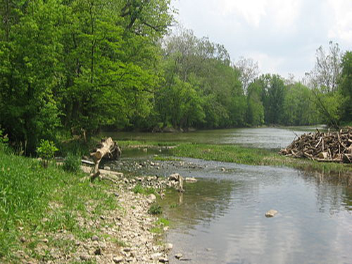
The Little River Watershed encompasses approximately 141,000 acres in north-east Indiana. The watershed crosses four counties, includes very diverse land uses, and is home to important urban centers like the newly annexed Aboite area of Fort Wayne and the City of Huntington. The river’s headwaters are heavily influenced by urban stormwater from Fort Wayne, industrial discharges from gravel operations, and sediment and nutrient inputs from the eastern tributaries. Our team led the assessment of wetland restoration opportunities and riparian buffer characterizations that aided in the identification of key water quality recommendations and solutions. We also compiled an Institutional Resources Assessment of all area stormwater programs, conservation initiatives, and watershed partnerships to help guide SWCD personnel toward effective future cooperative efforts. Particular attention was paid to the complex and staggered efforts of various MS4 programs, as well as educational venues and strategic planning approaches associated with local watershed partnerships, including the Allen County Partnership for Water Quality and the St. Joe River Watershed Initiative.
PROJECT TASKS
- Developed project GIS to identify critical areas
- Conducted stream buffer analysis and water quality sampling
- Created wetland, soils, and floodplain planning maps to identify restoration opportunities
- Completed Institutional Resources Assessment for use in outreach planning
- Coordinated public education and outreach materials